Image credit: Unsplash
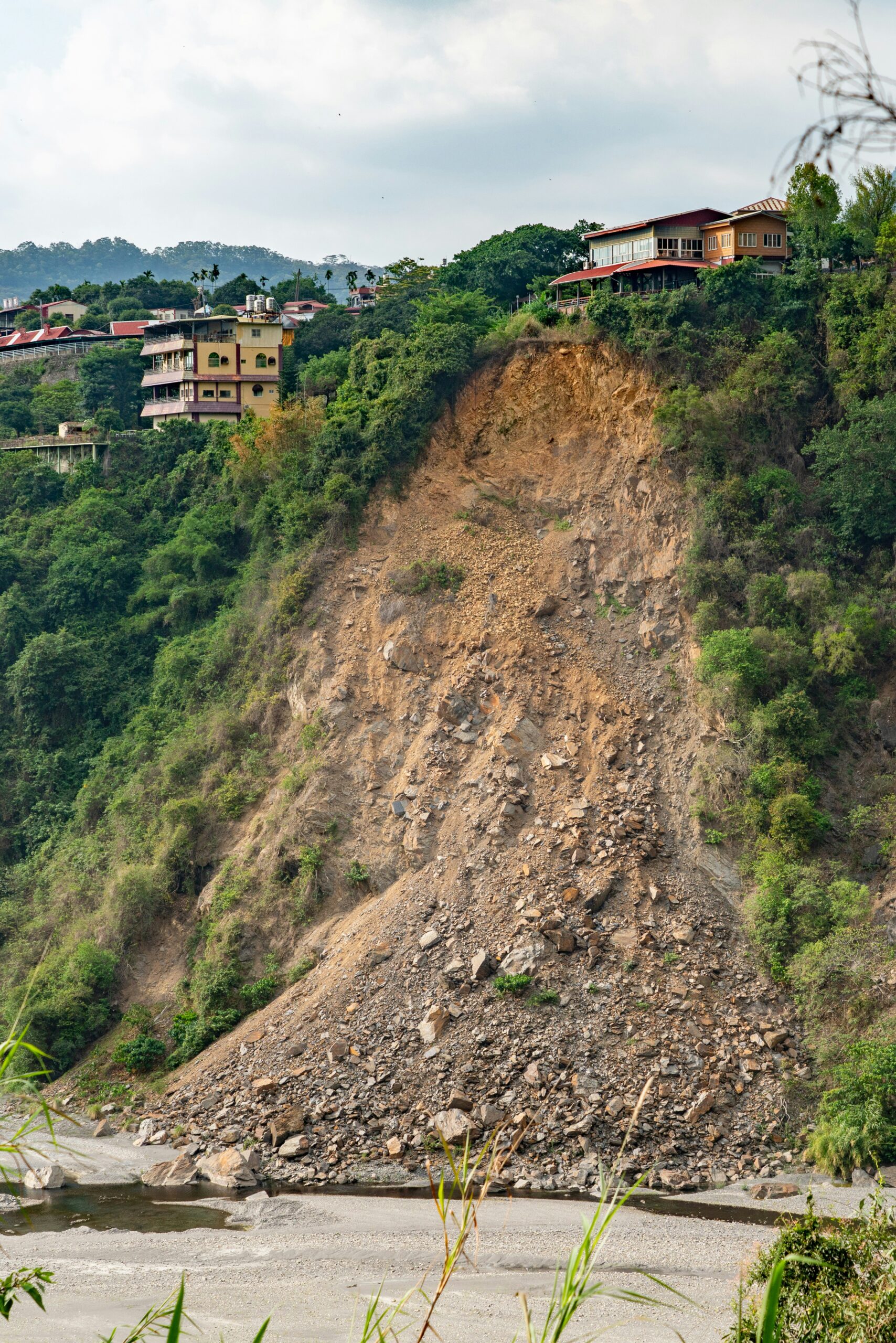
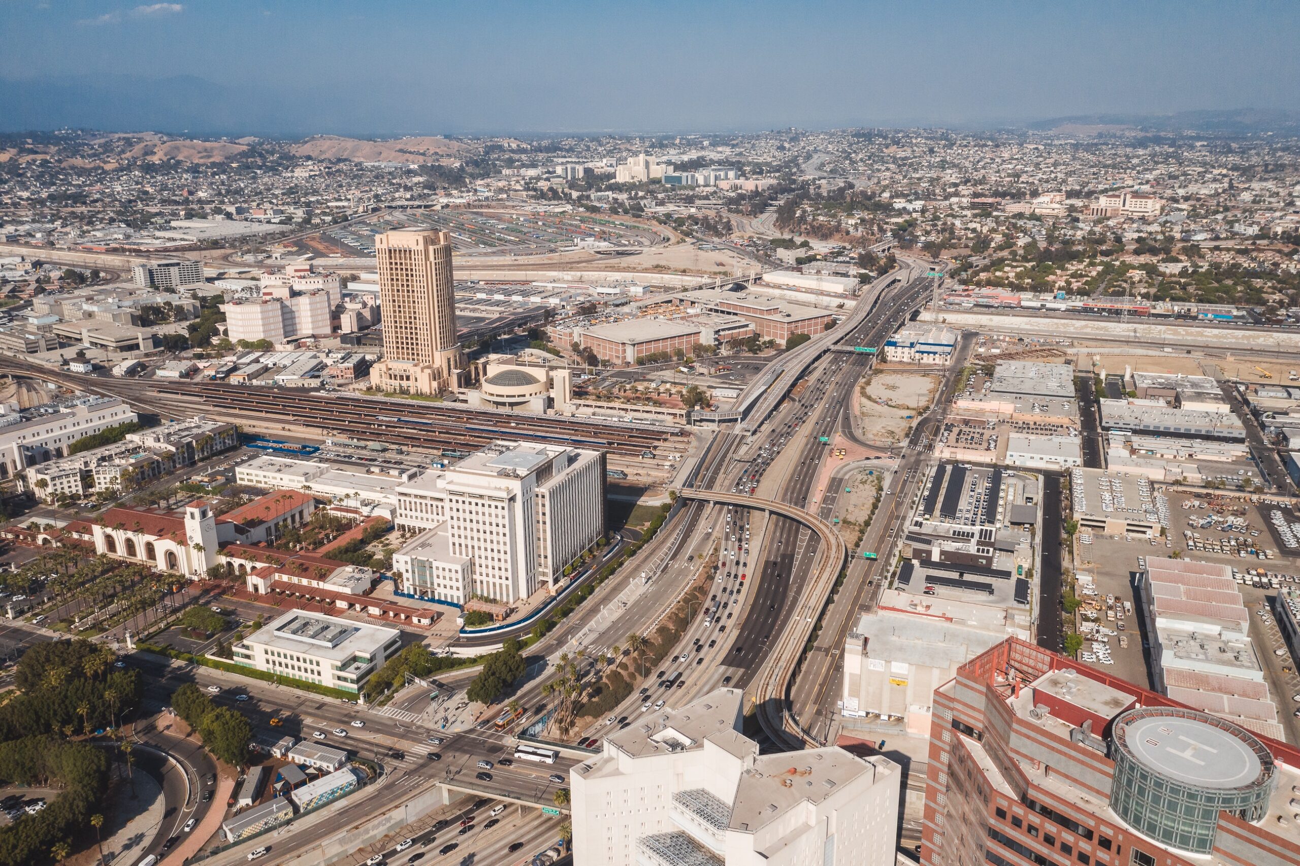
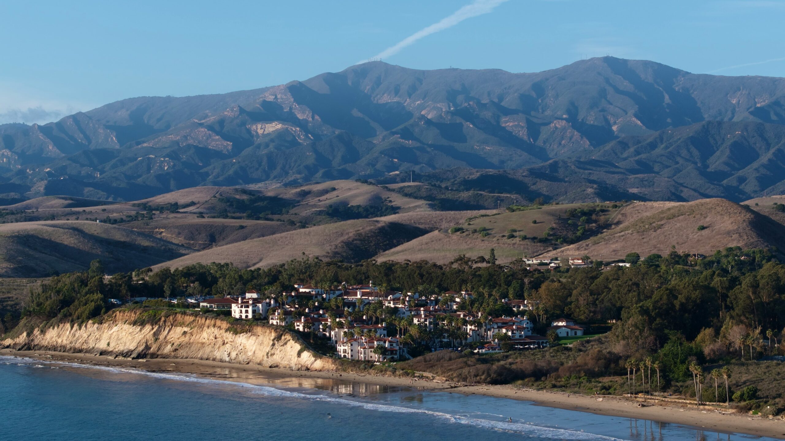
A NASA radar aboard an airplane flew over the decades-old active landslide area on the Palos Verdes Peninsula to reveal that its previous boundaries have expanded. While slow-moving, the analysis determined that the area consistently slid toward the Pacific Ocean by nearly four inches per week.
Results of NASA’s Analysis
The analysis was carried out by NASA’s Southern California Jet Propulsion Laboratory via airborne radar, measuring the movement of landslides on the Palos Verdes Peninsula in Los Angeles County. It occurred during a four-week period in the fall of 2024, and it was observed that the land in the residential area moved about four inches each week, for a total of 12 inches during the observation period. Furthermore, the active landslide area expanded from when it was last mapped in 2007 by the California Geological Survey.
“In effect, we’re seeing that the footprint of land experiencing significant impacts has expanded, and the speed is more than enough to put human life and infrastructure at risk,” said NASA Jet Propulsion Laboratory landslide scientist Alexander Handwerger.
Handwerger is the principal investigator for NASA’s upcoming Landslide Climate Change Experiment, which will use similar airborne methods to study the effects of wet and dry precipitation patterns on landslides across some of California’s coastal slopes.
Potential Causes for Landslide Acceleration
Certain areas of the Palos Verdes Peninsula are part of a historic landslide complex that has been active for at least the past six decades. The complex’s velocity has accelerated and expanded, likely due to unprecedented rainfall across Southern California in 2023 and into 2024. The area has damaged several buildings and affected many others, making it a consistent point of concern for nearby residents.
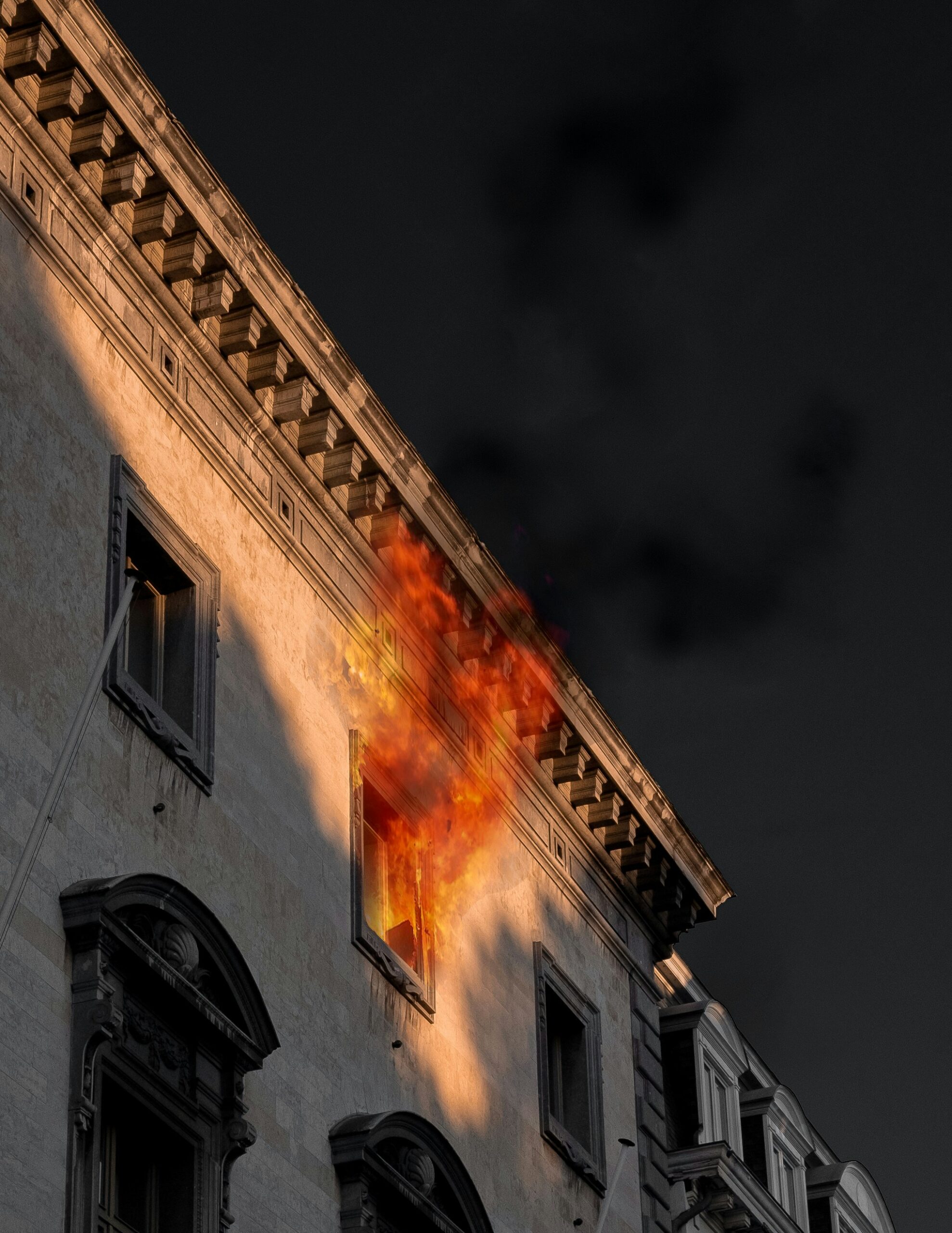
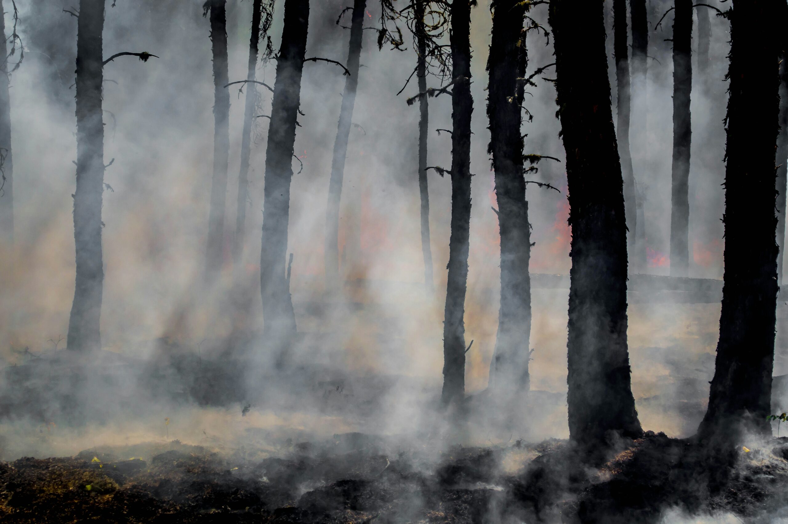
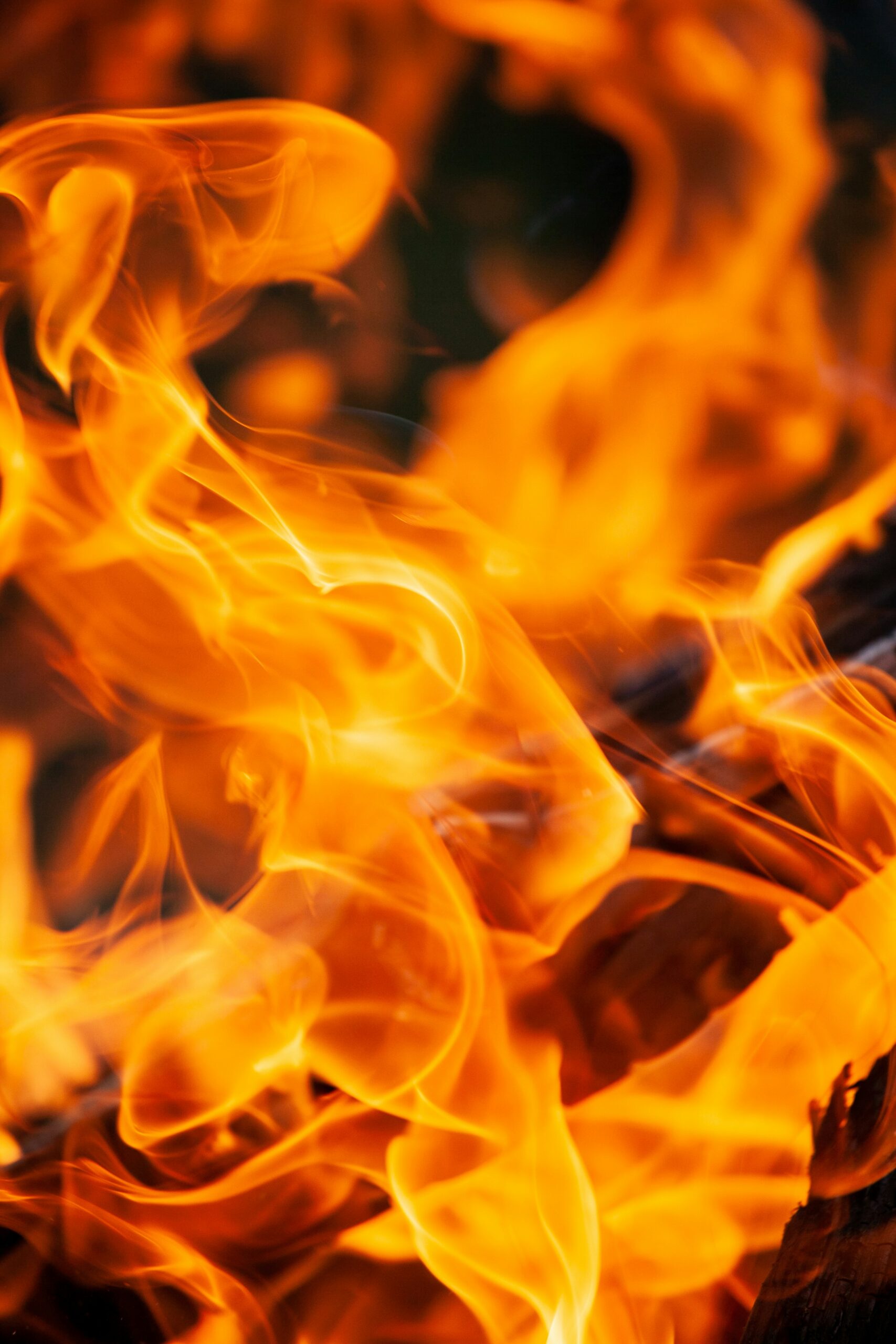
Fires are also a potential risk for accelerating the historic landslide complex. When waxy leaves are melted by wildfires, they create a hydrophobic layer in similar areas, which can be more easily carried away by water—such as the water brought by consistent rainfall. While rain is beneficial for putting out wildfires, landslides demonstrate where new issues can arise after the fact. In 2022 and 2024, researchers found that a buildup of vegetation and subsequent dry conditions made the county more susceptible to fires.
How Data Was Gathered for Valuable Insight
“To create this visualization,” NASA’s report stated, “the Advanced Rapid Imaging and Analysis (ARIA) team used data from four flights of NASA’s Uninhabited Aerial Vehicle Synthetic Aperture Radar (UAVSAR) that took place between Sept. 18 and Oct. 17. The UAVSAR instrument was mounted to a Gulfstream III jet flown out of NASA’s Armstrong Flight Research Center in Edwards, California, and the four flights were planned to estimate the speed and direction of the landslides in three dimensions.”
Insights from the UAVSAR flights were also combined with data from the European Space Agency’s Copernicus Sentinel 1A/B satellites, and the analyses were provided to California officials to bolster the state’s response. These resources are also available to the public at NASA’s Disaster Mapping Portal.
The Problem of Landslides in California
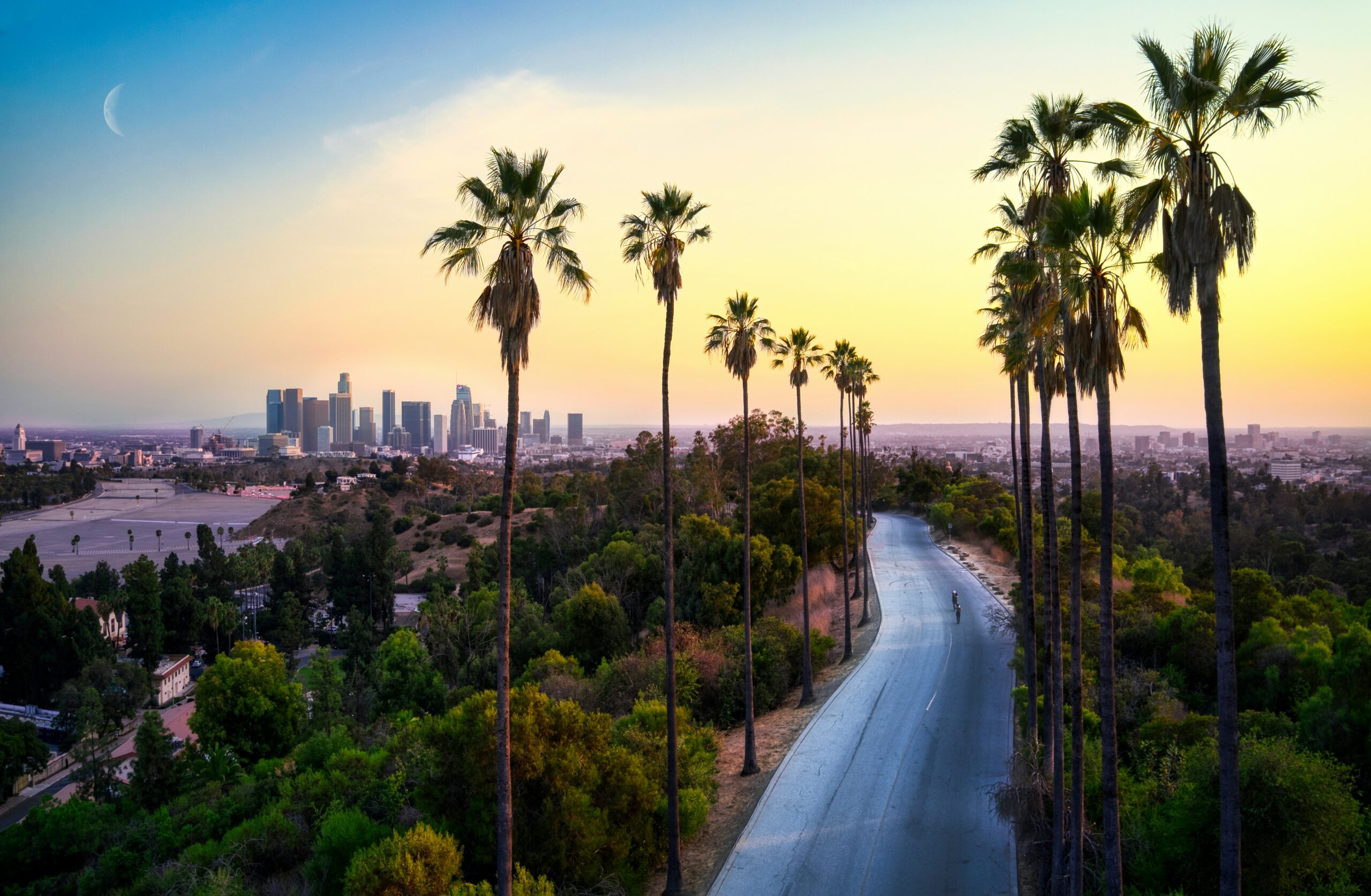
Landslides have proven to be a consistent issue across California, especially in coastal areas. The landslide area in the Palos Verdes Peninsula may have been experiencing gradual shifts in terrain for decades, but other areas might experience landslide accelerations due to climate-driven weather extremes. Increased water in the soil in certain areas has brought unanticipated weight and instability to coastal slopes, which may result in new and faster-moving landslides across the state.
A Predictive Solution
What this means for California infrastructure, including roads and communities, is uncertain, but long-term monitoring will be key to maintaining safety by predicting future shifts in the landscape. By expanding radar flights and monitoring high-risk regions, California can prepare itself for a range of future issues.